Live Geo-referenced Storm Chaser Video. First in the Field Aerial Live Streaming and Aerial Storm Intercepts. High Resolution Level II Radar Data. Severe Weather Forecasts and Reports by Storm Chasers/Severe Weather Videographers Verne, Michael and Eric Carlson. For live stream and video licensing contact us at: vernecarlson@hotmail.com

KRDO ColoSprgs Storm Chasers!

KRDO

KAKE Wichita Storm Chase Team!

KAKE

Denver's Channel 7 Storm Chasers

KMGH 7 News

License this Live Stream Now!

Follow us LIVE on iMap Tracker! When you see a car we are live.


Monday, May 14, 2007

05/14/07 Chase Report.


Chased with Tony Laubach and Dann Cainca today out in Eastern Colo. We intercepted the tornado warned cell that passed through Hudson Colo. I didn't see any touch downs but some good hail and strong straight line winds. After core punching the Hudson cell I headed south down to Last Chance Colo. where I met Eric Treese. Headed home after the storms went MCS. Thanks goes out to Mike O'Keefe and my Dad for nowcasting for me!

Michael C

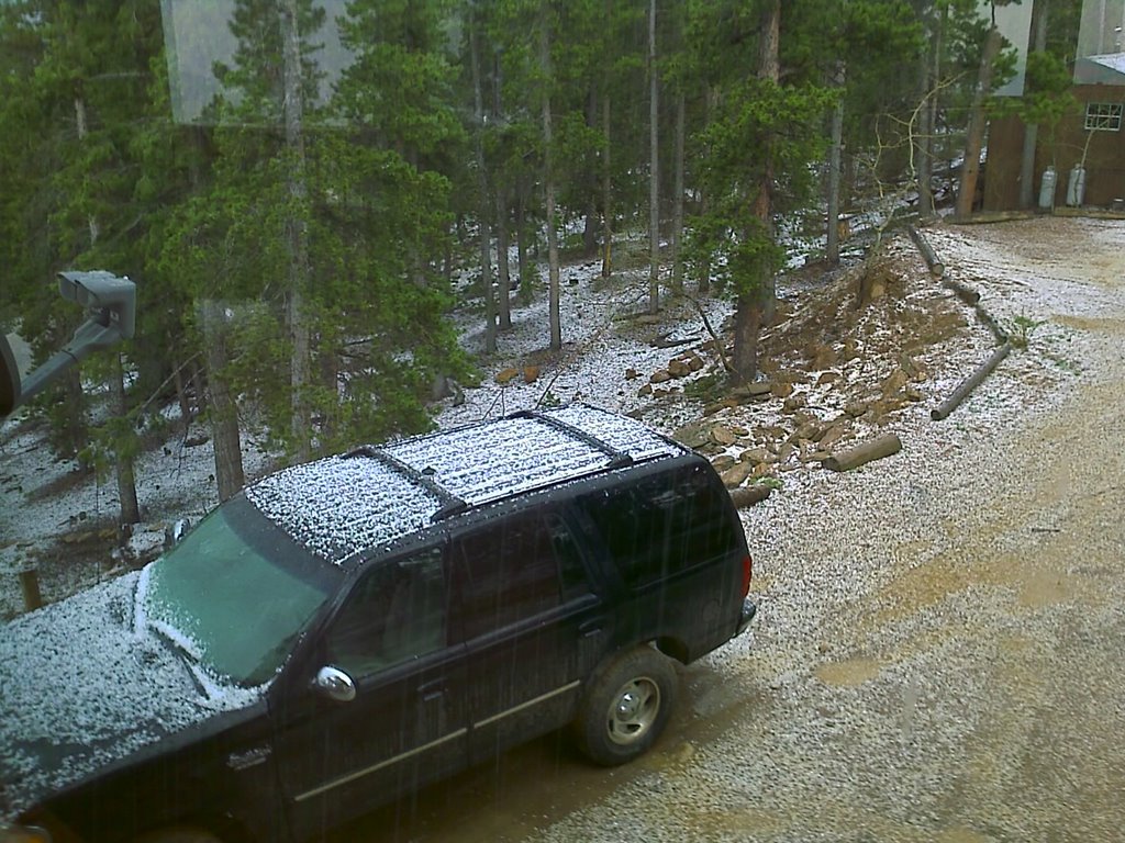
Nickel hail at my house in Coal Creek

Just had 10 minutes of nickel sized hail and frequent lightning at my house as we are under a severe thunderstorm watch.


Tornado warned storm of Ft. Lupton as seen from my house at Coal Creek Canyon. There were numerous tornado warnings tonight in Weld, Adams, Morgan and Arapahoe counties. Michael was out chasing and was all over the tornado warned cell but reports it was mostly outflow dominant and did not produce any tornadoes.

Saturday, May 12, 2007

Colorado's Spring Fury!


Michael C

7 News Spring Fury Special

Tonight the boys and I where on the 7 News Spring Fury Special. I think the folks at channel 7 did a great job of mixing our interview with chase clips from our Sept 16th, 2006 South Dakota Tornado Chase. In case you missed it here's the first segment including the Carlson Chasers!

http://www.stormchaserco.com/7NewsSpringWeatherSpecial.wmv

Quiet times in the plains

After a very active May 4 - 6 we are in a quiet pattern now with the jet stream well to the north and chase chances minimal through at least May 22nd or so. The GFS model that we use to forecast out 10 days or so hints at a pattern change with a return of troughs to the central plains states. For now I think Kansas, Oklahoma and Texas can use a break!

I talked to my friends Kaori and Shigai about possibly having the boys and I continue the work of getting thier probe into a tornado on our chase-cation which starts May 28th and runs to June 10th. We would use thier medium size yellow probe with 4 mini-DV cameras.

On thursday I flew my video plane minus the video system to keep it light for the first test flight. I flew it at the Arvada Associated Modelers park along hw 93. I had their instructors help me tune the engine, range test the radio and then take me up with a 'buddy box' where they can take over if I get into trouble. It had been over 12 years since I flew last, but with a little simulator training at the local hobby store I was able to take the controls and within minutes I was doing loops, rolls and landing approaches. I landed it myself, although too fast and broke a prop but not bad after having been away for so long.

Next steps are to build a new camera pod with a lens cover as I found that the fuel that gets on the lens ruins the coating and causes the camera to 'flare out' and have bad picture quality. I need to join the AAA flying club now and get my own frequency pin so that I can hone my flying skills in the next few weeks.

Monday, May 07, 2007

North of Greensburg, Kansas


Michael and I just got back to Denver. We were on the Greensburg storm after it moved moved north of town. We followed it all the way up to near Ellsworth, KS where it finally dissipated. From our vantage point along HW4 through Hoisington, KS it was a large bowl on the ground with incredibly strong RFD winds wrapping around it and trying to blow us off the road. We basically followed it all the way north driving under and around downed powerlines, grain bins down in Claflin, KS and numerous trees and limbs across the road. Street flooding was everywhere. We chased till 4am when we finally got back to our motel in Hays, KS.
Tree limbs down east of Hoisington, KS

Tree branch across the road north of Claflin, KS

Grain bins block the road in Claflin, KS we have to go north to get around them. The wedge rages in the distance!

Powerpoles are down everywhere!

My chaser friend Randy Denzer of the MESO group was one of the first EMTs on the scene in Greensburg. He described to me the towns police chief sobing saying that 'his town was destroyed'. Randy saw truckers dead in thier trucks caught at the gas station and crushed. On Saturday we video'ed another 7 tornadoes in the same area near St. Johns Kansas. I am still numb at the sights we saw... I will get some pics up soon of our chase of the Greensburg wedge as it moved north out of town.

Heading back to Denver, CO

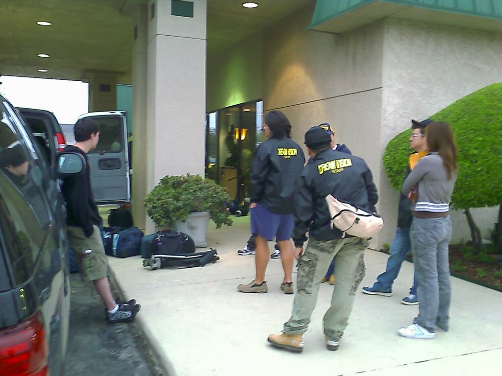
Michael and I are heading back to Denver this morning after our week of helping out the DreamVision production team from Japan film their documentary about tornadoes. It was a great week of touring with the Silver Lining Tours folks. It was definitely an experience that we would like to do again. We are doing one last survey of the Cactus, TX tornado damage on the way here.

Mileage: 627
Motel Stays: 1

Sunday, May 06, 2007

In Erick, OK waiting for initiation

We are currently sitting in Erick,OK watching storms fire along the dryline and waiting for one to get organized enough to start to spin. Expect a good day of tornado chasing and possible video probe deployment.

2007-05-05 Report

Today we scored big with 7 tornadoes all within a couple of counties of central KS!


Developing tornado north of Pratt, KS.


Tube briefly touching down near St. John, KS.


Large cone tornado west of St. John, KS


Tornado crosses the road in front of us on HW 50 west of St. John, KS


Tornado continues north as a strong tube!


This tornado formed to our east as we were watching the cone cross the road. It was the most amazing 'Wizard of Oz' looking tornado I have ever seen. It had a serpentine motion to it as it spin up dust on the ground in the field next to us!


This tornado was a long lived multi-vortex circulation that spun in the field west of St, John for many minutes.


Here is a map of the tornadoes at nightfall. Our route is in green, tornado paths are blue.

What a day. The sobering part of this whole experience is that we have seen more damage and hardship caused to the people of central Kansas and particularly the people that lived in Greensburg, KS. Each of the past three days has brought significant tornadoes to this same area and we have seen more damage than we have ever seen in our lives out here. Roads are blocked, national guard troops are deployed everywhere and power company trucks are here by the hundreds. It's almost unreal how hard hit the area is.


Click here for the official reports page from the Norman, OK NWS

Mileage: 240
Motel Stays: 1

Saturday, May 05, 2007

Day 6 Pratt, KS

We are rapidly approaching the storm in south central KS near the town of Coldwater, KS.

Friday, May 04, 2007

Dr. David Gold explaining todays outlook

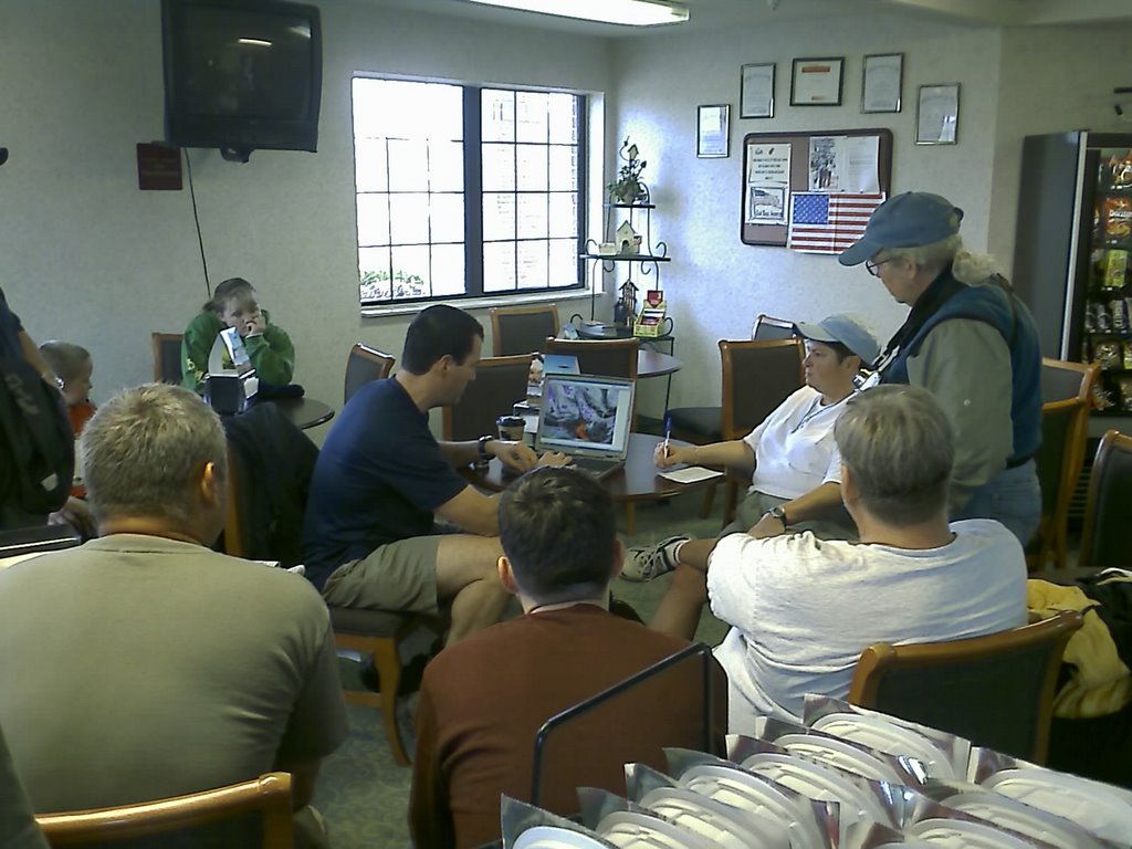
We are at the Comfort Inn in Goodland, KS listening to the outlook for todays chasing conditions.

Mileage: 257
Motel Stays: 1

Checking out the TIV

The DOW and TIV are here in Goodland, KS as we wait for one of the big tornado days that we've had this year. SPC has us under a moderate risk of severe storms and a 15 percent hatched tornado risk!

Thursday, May 03, 2007

Day 4 in OKC

This morning SPC upgraded all of our outlooks for the next 4 days all the way to monday. Today we need to high tail it all the way back to ne CO where we have a good chance of high based photogenic supercells and a 5 percent tornado risk over e CO!

Mileage: 677
Motel Stays: 1

Wednesday, May 02, 2007

Damage Survey of Cactus Tex. - Photos


Today my Dad and I traviled from Denver Colo. down to Oklahoma City. We passed through the town of Cactus, Texas, where we had chased a half mile wide wedge tornado a week earlier on April 21, 2007. The tornado carved a half mile wide path through the town and today we stopped and took some shots of the damage.

Michael C

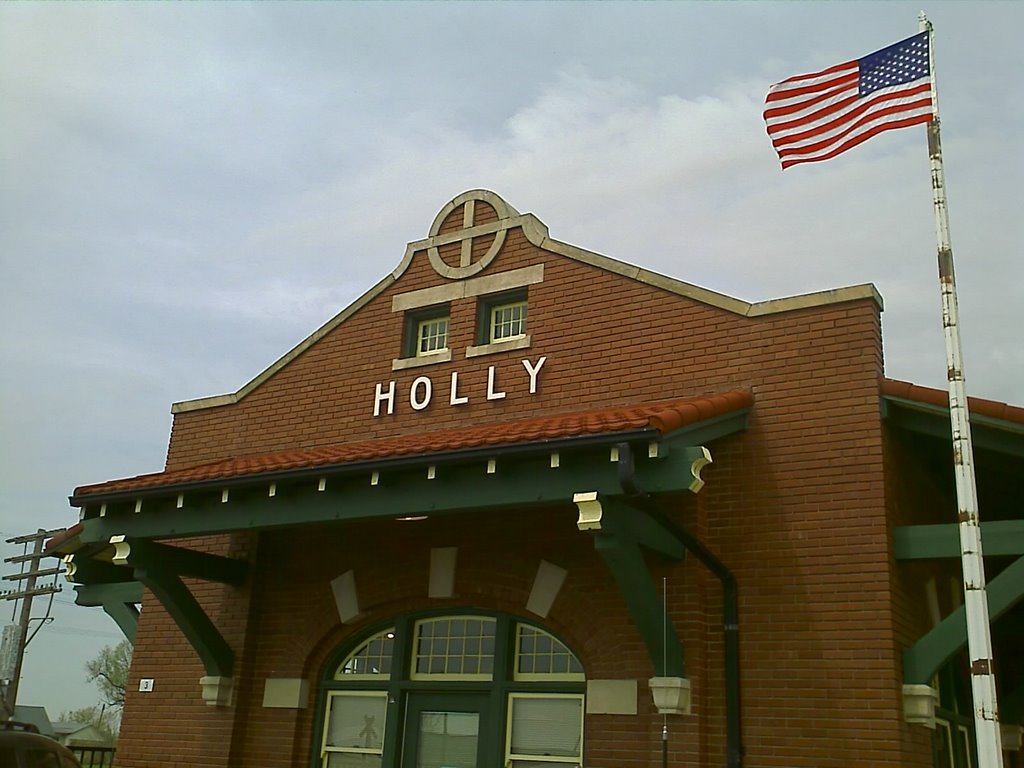
Damage Photos from Holly, Colo.


Some of the shots I took of the damage from the EF3 tornado that hit Holly, Colo.

Michael Carlson

Tuesday, May 01, 2007

Surveying damage in Holly, CO

Bare foundations, houses without roofs, metal in trees, just incredible damage.

Mileage: 235

Day 2 filming in Holly, CO

Today we are videoing the tornado damage in Holly. Even a month after the Mar 21st storm the damage is very apparent.

The Carlsons', Verne, Michael and Eric

The Carlsons', Verne, Michael and Eric

Contact Me for Helicopter Shots!

Flying Monkeys

My Blog List