Live Geo-referenced Storm Chaser Video. First in the Field Aerial Live Streaming and Aerial Storm Intercepts. High Resolution Level II Radar Data. Severe Weather Forecasts and Reports by Storm Chasers/Severe Weather Videographers Verne, Michael and Eric Carlson. For live stream and video licensing contact us at: vernecarlson@hotmail.com

KRDO ColoSprgs Storm Chasers!

KRDO

KAKE Wichita Storm Chase Team!

KAKE

Denver's Channel 7 Storm Chasers

KMGH 7 News

License this Live Stream Now!

Follow us LIVE on iMap Tracker! When you see a car we are live.


Sunday, August 12, 2007

Lightning over Eastern Colorado!


I decided to go out to watch the meteor shower this evening (which is now morning) but in steed of meteors I got some of the best lightning I have gotten all year.

Michael C.

Testing the wireless system on the WW3


Just landed from the first test flight of my new wireless system! I have flown these components before on the WW1 but this was the first time after stripping out all the weight and building the components into my wireless pod.

Saturday, August 11, 2007

Aerial photography pod

Today I built this pod out of an Estes rocket nosecone, Nikon Coolpix camera and shutter controller that will allow me to snap off shots from the bottom of the WW3 and the WW4. I have made all of my cameras so that they velcro into the same slot in the bottom of the wings so that I can swap equipment in the field depending on what I want to do.

Thursday, August 09, 2007

Lightning over northeastern CO!


Amazing dry lightning tonight out over Roggen, CO in what was probably the best display of the summer season! At times every shot I took was capturing bolts, here's some of the better ones!

Mike and Mike Films stormy intro


This is a title sequence I did for my brother and Mike O'Keeffe. Everything in it except the sound is computer generated. I guess it's best to create your own storms when there's no other storms around.

You can view the youtube version at http://www.youtube.com/watch?v=VmQT0JvRRbc although I recommend checking out the full resolution version at http://fakerealitybob.googlepages.com/render4_sound.mp4 so you can see the rain and other small details.

Wednesday, August 08, 2007

Introducing the Wicked Witch 4!


Tonight I order a Slinger flying wing RC airplane that will become the Wicked Witch 4 (who know when this will end!).

Pros:
Almost Ready to Fly (ARF)
$49 price tag (airplane minus all equipment)
Wing Area: 462.8 sq in compared to ~425 sq for the WW3
The extra wing area will allow me to carry a few more ounces of payload.

Cons:
Weight: 27 oz compared to 22 oz for the WW3 (slightly heavier)
Wingspan: 47.4 in (10" longer than the WW3, slightly less portable)

WW4:
Weight w/o camera: 27oz
Wing Area: 462.8

WW3:
Weight w/o camera: 22oz
Wing Area: 425 sq in

WW2:
Weight w/o camera: 24.7oz
Wing Area: 369.6 sq in

Tuesday, August 07, 2007

WW3 flies in this storm!

Out by Last Chance CO again today and this time I got a good recorded flight. Frequent lightning and strong outflow winds on this one! Checking the video now, will post results soon.

Monday, August 06, 2007

Foiled by a bad landing!


Of all the rotten luck, I just had an amazing 15 minute flight swooping and circling infornt of a beautiful shelf cloud with many striations and CG bolts coming out of it. and then as I was landing I clipped the edge of the road and popped the batteries out of the camera causing me to loose the whole flight video! I went up for a second circle but the storm had weakened and looked crappy! Here's the video I did get although not even close to what I had hoped for.


Storm core off to the southwest.


Glimpse of the core as I sweep by too fast.

Mileage: 480

Kanorado Cell

Developing tower out across the KS border.

Severe cell near Burlington, CO

Approaching the severe cell from the north. Nice inflow and anvils on these!

Chasing today in NE!

Currently passing through Ft Morgan on my way to central NE for a shot at isolated tornadoes. I have the WW3 with me, all batteries are charged and with some luck I'll be trying to put her into a tornado today!

Looks like a cherry county sand hills day so cell phone coverage and road options will be tough today. 4.0 km NAM shows a line sweeping from hw61 to hw83 at 0z to 3z.

From he North Platte HWO:
BY AFTERNOON...SURFACE HEATING WILL COMBINE WITH VERY MOIST
AIR...DESTABILIZING THE ATMOSPHERE. AS AN UPPER LEVEL DISTURBANCE
LIFTS EAST OF THE ROCKIES...SCATTERED THUNDERSTORM DEVELOPMENT IS
LIKELY. LARGE HAIL AND DAMAGING WINDS ARE THE MAIN SEVERE
THREATS...WITH THE POSSIBILITY OF ISOLATED TORNADOES NORTH OF
HIGHWAY 92 FROM BROKEN BOW TO ARTHUR...AND EAST OF HIGHWAY 61 FROM
ARTHUR TO MERRIMAN

Sunday, August 05, 2007

Having some fun with the WW3!


Today I took the Wicked Witch 3 through some of her paces with the highest flight yet at maybe up to 600 feet and then did some tree top flybys. Here's a video to the Top Gun Theme!

Friday, August 03, 2007

WW3 Test Flight 2


Just got back at lunch from flying the WW3 Stryker Jet! This flight was much better video quality after I resolved the problems with my camera mount being too weak. Also I am getting better at flying it so I am able to make more sweeping turns which help the video quality quite a bit.

Thursday, August 02, 2007

Lightning over northern CO!


Got home a little too late to activate lightning net, but I did manage to get a few far off strokes out over the plains from my house in Coal Creek.
This lightning strike was somewhere out in north Broomfield, CO

This one hit the research tower in Erie, CO!

Wednesday, August 01, 2007

Wicked Witch 3 Test Flight 1 with video!


Wicked Witch ready for launch into the wind.


The WW3 gets up to altitude fast! On launch I have to set the trim to almost full up then as it climbs throttle back and trim it down. At full power it climbs almost straight up!


The forces on launch caused the camera mount to almost immediately begin to let loose. By the end of the flight the camera has completely come loose from it's rear mount and almost falls off. Luckily I see this as I fly by and land it in time to recover the camera intact!

Sunday, July 29, 2007

Wicked Witch 3 delta jet!

Just got a new plane to become the Wicked Witch 3. This one is a stryker delta wing with electric pusher motor!

And wow what a rocket! This plane says on the box that it'll go 80mph and they weren't exagerating. When you hand launch a plane you have to throw it with one hand and then immediately grab the stick and start to fly it. This plane took off at full throttle and I almost flew it into the ground 50 yards down the hill as it needed some up trim to fly level. Luckily I pulled it up before it hit! I flew a couple circles around me at full power and the plane was smooth and stable but very 'twitchy' on the controls. I had the dual rate switch on high which was not a good idea for a first flight apparently. As I came around the second turn I had a sudden sinking feeling as I could not tell the orientation of the plane. In radio control flight there are angles that the plane reaches where you can't tell if it's coming or going. I had one of these moments and guessed wrong, the plane started acting irratic to my controls and I was totally lost. It spiralled in hard! Luckily at the last moment I cut the throttle and since this plane is basically a sheet of foam it slowed just before it hit.

I kept my eye on where it hit and raced out there expecting the worst. Surprisingly the only damage was a 1" of the left wingtip was busted off. The good news here is that this plane is tough. Being a delta wing it is very stout and crash resistant. I have it repaired now and needless to say that I will practice on it quite a bit before I modify to accept my camera!

Comparing the WW2 to the WW3, the WW3 should do well carrying the camera since it is lighter and has more wing area.
WW3:
Weight w/o camera: 22oz
Wing Area: 425 sq in

WW2:
Weight w/o camera: 24.7oz
Wing Area: 369.6 sq in

Wednesday, July 25, 2007

Lightning returns to the Front Range!


Checking my calendar and it's been 15 days since my last nighttime lighning shots over Denver. Finally tonight at extreme zoom I was able to catch four bolts way up north over Ft. Collins. Here are two of them, hopefully tomorrow night will bring some more chances for lightning!

Digital Aerial Photography

Having a great video system now and with some time on my hands, I've decided to jump into Digital Aerial Photography! Yesterday I ordered the controller below:
http://www.blip.com.au/item.aspx?itemID=14


This little device will allow me to fly a small Nikon Coolpix or Canon Powershot A620 on the WW2 and get up to 7MP images from the air! This unit connects through USB to the camera and then to the RC receiver allowing me to shoot off frames while flying by using one of the spare radio channels. The Canon (which I currently have an ebay bid) can even have it's zoom controlled but it's unlikely I'll use this feature. More likely I'll keep the camera zoomed out and focused to infinity for some outrageous cloud structure shots!

Monday, July 23, 2007

Popup convection

Currently watching some high based convection pop up here and there over Denver. These short lived storms drop a little rain and then fizzle out. if one can last till dark it may provide a couple lightning shots!

Saturday, July 21, 2007

Wicked Witch 2 overflies Historic Steam Locomotive


Fellow storm chaser and train enthusiast Dan Barker clued me in that a unique opportunity would exist this weekend to fly the Wicked Witch 2 over the historic Union Pacific Steam Locomotive 844.

This morning I got out to HW85 just south of Brighton where I stopped and asked a couple and a nice lady if they were waiting for the train and if it left Denver on time. "this is the Union Pacific, not Amtrak" she replied, ha ha ha! As I was shutting off my car and starting to get the WW2 out she wistled over that it was on it's way. And boy was it ever. I rushed across the tracks to the far dirt road and began turning on the equipment when the train sped past us behind me while I was still on the ground.

I asked the group if there was a chance of catching the train and raced north where I finally caught site of it as it slowed at La Salle, CO. The locomotive sped up again and quickly passed the 20 or so cars and motorcycles that where now obviously pacing it. At every crossing there were 3-4 carloads of people waiting for the train to speed by. Very much like storm chasing, here I was chasing a large object, moving fast without needing to slow for stop lights or traffic and making a Bee-line north-east. Train chaser convergence was everywhere!

North of Greeley people had started to slow and pull over and I noticed that instead of closing their camera view finders they were getting them out. I knew I had finally pulled ahead.

Just north of Lucerne, CO still on HW85 I pulled over and across the road next to a wide open wheat field with no powerlines or trees, this was my chance. I powered on the WW2 and launched her into the air and began making a sweep of circles over the tracks where I knew the old UP844 would pass.

Not knowing how the slip stream and turbulence of a train moving at 65mph would impact a small plane I kept it at a reasonable altitude of 100 feet or so. Enjoy the video, it was a fun little practice flight in a time-critical situation and a good off-season practice for when storm flying returns in the fall!


UP 844 speeds under the WW2 along HW85 on it's way the Cheyenne Frontier Days


Steam Locomotive 844 quickly heads up the tracks at 65mph!

Friday, July 20, 2007

Chance for Flooding Storms Today

Well last night we had a few storms in the area but mostly to the south of town. We did have the one large cell over DIA that produced small hail and beautiful towers for quite awhile but died before dark so I did not get any of the lightning shots that I had hoped for.

Today the mid-levels of the atmosphere are capped so there is only a chance of storms over the mountains. I am hoping again for something to hold together till after dark for lightning potential!

Thursday, July 19, 2007

Severe thunderstorm over DIA

This nearly stationary storm just went severe warned for quarter size hail. We are under a flash flood watch this evening for just such storms! I am really hoping this storm sticks around till after dark to give us a decent chance at lightning photos!

Sunday, July 15, 2007

Devil's Tower WY

Amanda and I are coming back after a weekend in Deadwood, SD where she did the X-Terra triathlon. We took a little side trip to one of my favorite places, Devil's Tower. Of course I had to pick up a DVD copy of Close Encounters at the gift shop!

Thursday, July 12, 2007

Wednesday, July 11, 2007

Wicked Witch flight near a severe thunderstorm!


Nice cell near Anton! Eric and I in my car and Michael in his car chased the Tornado Watch Box that went up yesterday in ne CO. This was the most impressive storm we saw and was a nice treat! At this time there was a report of 2" diameter hail from a spotter but when we got to the site 10 miles east of Anton we found no hail falling or on the ground.


This cell fell apart as the one to it's west went severe warned. I got out the Wicked Witch and flew it in the inflow near the storm for about 10 minutes. Eric will be posting one of his nice split screen videos of the flight soon.


Highway 36 east of Cope, CO as seen from the Wicked Witch 2 camera at about 400 feet up!

Eric and I and the Subaru flying the WW2!

The severe warned thunderstorm Rain Free Base as filmed from the WW2 at an altitude of approximately 300 feet. The WW2 was flying in the inflow winds of about 10-20kts and had a definate tendancy to want to go downwind quickly. I spent most of the flight fighting the flow as I didn't want to chase the plane out in the field. Had there been a tornado under this updraft it would have been the plane's natural tendancy to drift with the current and go straight into the updraft.
I have a locator coming from http://www.loc8torus.com that I will use to locate the video after it comes down hopefully within 600 feet of a road. That is the range of this device and it is definately needed as the plane is easily lost in tall grass and crops!

Tuesday, July 10, 2007

Underneth the storm that passed through Broomfield.


Just took some shots of the lightning that passed through. Tomorrow will be a sweet day for a nice backyard chase!

Michael C.


Beautiful storm pops up over Boulder, CO this evening. A nice isolated storm with copious amounts of lightning popped up tonight! Here are some of the pics I got from my house.


Sunday, July 08, 2007

Cell over Gilpin county

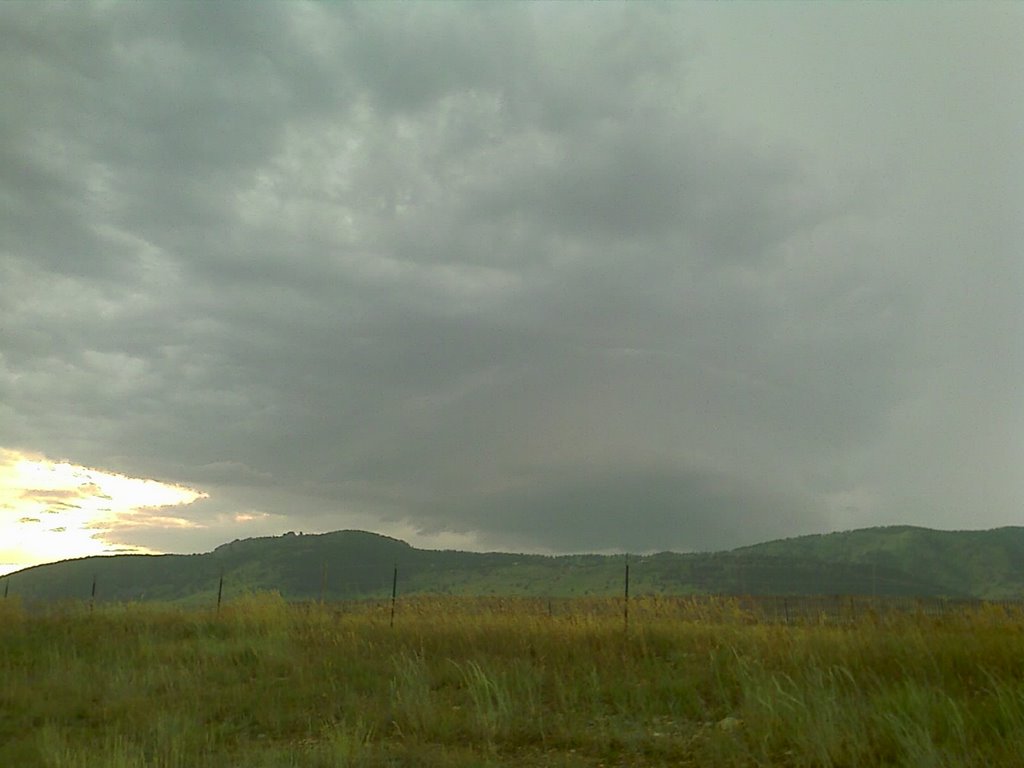
This storm blew up this afternoon and quickly moved east out of the mountains. It had such vigorous scud rising up into the updraft that I had to pull over and get this picture. Tue and Weds this week look like post frontal severe days for the CO front range!

Thursday, July 05, 2007

Vigorous convection over Boulder, CO

This storm has popped up west of Boulder and has a very strong appearance to it!

Wednesday, July 04, 2007

Man-made and Natural Fireworks!

Tonight I got a very rare shot. Here you can see lightning, fireworks at Coors Field and Downtown Denver all at once!

The Wicked Witch flies NCAR in Boulder!

Here's the NCAR building as seen from a screen grab from the WW2 video.

View of the flatirons looking north from the NCAR mesa.


Just landed after flying around NCAR and the Boulder flatirons. Wait till you see this video - wow!

Tuesday, July 03, 2007

Meso just passed my house!

This meso just passed over my house with reported golf ball sized hail. Heading there now to see if theres damage!

Sunday, July 01, 2007

First Denver lightning opportunity at night!


Tonight at 9:45pm we had a small cell popup over north Denver, CO and put out two photogenic bolts and I was able to catch them both! Right on queue, July is the month for night lightning shots over the city and the first day of July did not disappoint!

The Carlsons', Verne, Michael and Eric

The Carlsons', Verne, Michael and Eric

Contact Me for Helicopter Shots!

Flying Monkeys

My Blog List