Live Geo-referenced Storm Chaser Video. First in the Field Aerial Live Streaming and Aerial Storm Intercepts. High Resolution Level II Radar Data. Severe Weather Forecasts and Reports by Storm Chasers/Severe Weather Videographers Verne, Michael and Eric Carlson. For live stream and video licensing contact us at: vernecarlson@hotmail.com

KRDO ColoSprgs Storm Chasers!

KRDO

KAKE Wichita Storm Chase Team!

KAKE

Denver's Channel 7 Storm Chasers

KMGH 7 News

License this Live Stream Now!

Follow us LIVE on iMap Tracker! When you see a car we are live.


Wednesday, May 31, 2006

Eastern Colorado Meso action!

Latest image from Verne's mobile picture phone.

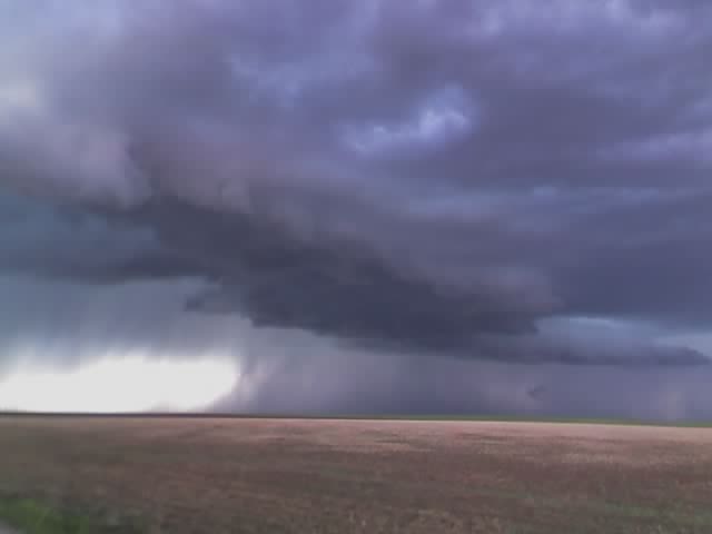
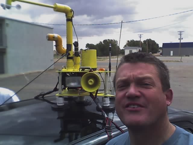
Yesterday was a fun chase day as Michael and I positioned ourselves up on the top of Cedar Point where there is a little known lookout by all the radio towers where you can see for miles in all directions. We watched as the supercell coming out of Denver started gaining structure over Agate and moving our way. It had it's best shot at dropping a tornado in this shot as it moved up the hill in front of us. It was a fun chase with the DOW truck, the TIV remnant (now a truck with a camera platform on the back) and many other chasers out for this event. Today looks like a se CO day with a potential close in chase for LP supercells out past the Colo Spgs area. Will have some pics up this morning from the last few days.

Mileage for the last 4 days: 3020 miles

Multimedia message

Latest image from Verne's mobile picture phone cedar point !

Multimedia message

Heading out to our next destination. Eastern CO !

Tomorrow has a 5% tornado risk for e CO!

We are bedded down for the night in Salina, KS after a long and exciting day of chasing a meso that nearly got organized enough to drop a tornado. Dropped off Tony in Topeka to get his van and hopefully he can get back on the road. So it looks like tomorrow is our last shot for a few days and then I'll be back home with my cutie wednesday night!

Multimedia message

Heading out to our next destination. Salina, KS

Tuesday, May 30, 2006

Supercell near Elk City, OK

Latest image from Verne's mobile picture phone.

This cell moved slowly south over the afternoon, dropped reported softball sized hail, rotating wall clouds and finally cored us at an abandoned gas station along I-40 in western OK

Multimedia message

Arnett OK

Multimedia message

South of laverne OK

Multimedia message

Latest image from Verne's mobile picture phone

Watching early convection in Liberal, KS

Latest image from Verne's mobile picture phone. We are currently at the Budget Host hotel in Liberal, KS waiting for initiation. We followed this interesting cell northeast of here and came back when it lost it's structure.

Today we have a 5% chance of tornadoes and mention of isolated tornadoes and hail up to 2" in diameter. This morning I noticed that the subaru had some small hail dents.

Multimedia message

Latest image from Verne's mobile picture phone

Multimedia message

Latest image from Verne's mobile picture phone

Monday, May 29, 2006

Multimedia message

Latest image from Verne's mobile picture phone

Multimedia message

Latest image from Verne's mobile picture phone

Multimedia message

Heading out to our next destination. Liberal KS

Multimedia message

Heading out to our next destination. Topeka KS

Sunday, May 28, 2006

Multimedia message

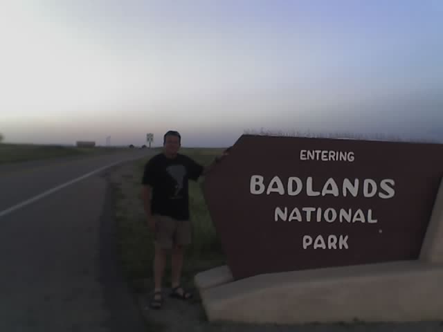
Our current location is badlands SD

Multimedia message

Checking data at a wi-fi hotspot. Murdow, SD

Multimedia message

Heading out to our next destination. Valentine, NE will adjust from there

Chasing today in South Dakota!

Cars packed, out the door! Expect SPC to move threat northeast, target Mitchell, SD - surface low is on the move.

The Carlsons', Verne, Michael and Eric

The Carlsons', Verne, Michael and Eric

Contact Me for Helicopter Shots!

Flying Monkeys

My Blog List