


 Posted this today on StormTrack and StormChasers Forums:
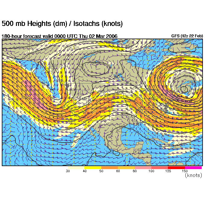
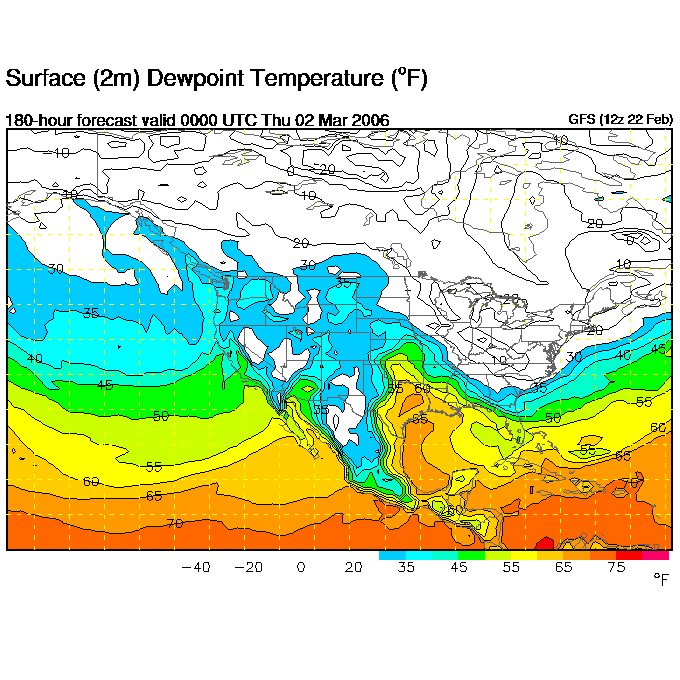
Looking way ahead at the GFS looks like we have some potential for some storms Thurs March 2 and Fri March 3. Projecting forward a day or two, the 500mb chart shows a negatively tilted trough pulling out into the plains overspreading 850mb southeasterly winds in central KS and OK. While not great, 55 Tds get up as far north as the KS/OK border.
I'm going to go way out on a limb and say an initial target of Woodward, OK for one of these days :)


No comments:
Post a Comment