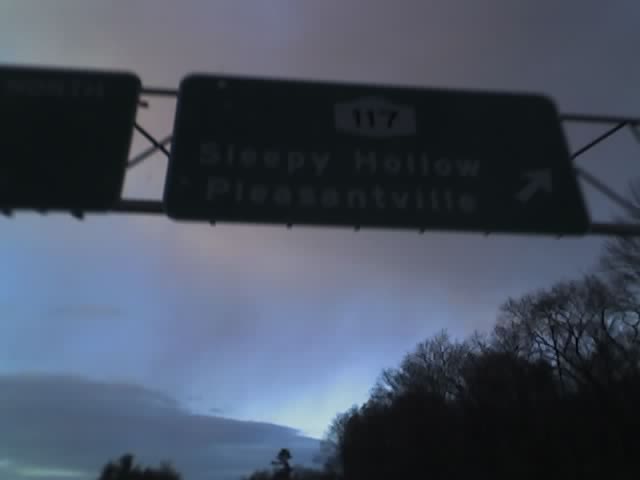
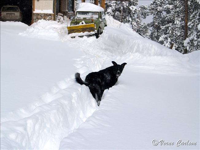
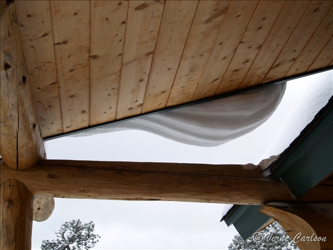
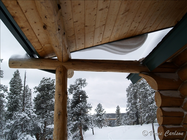
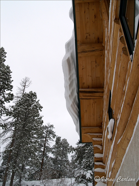
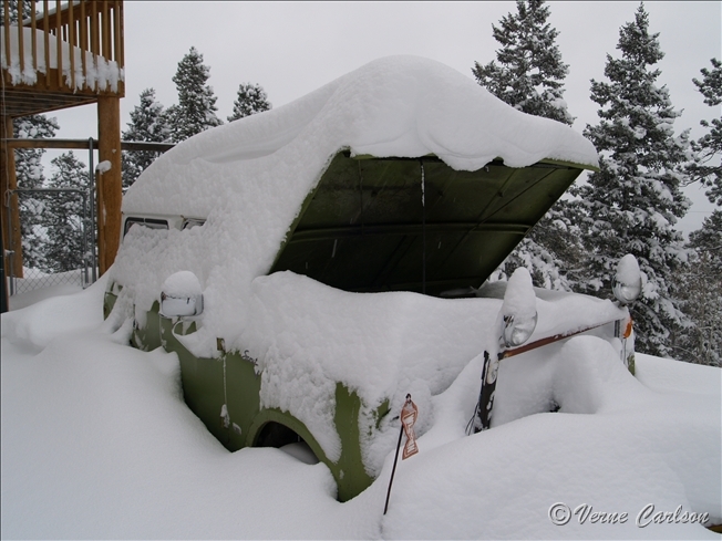
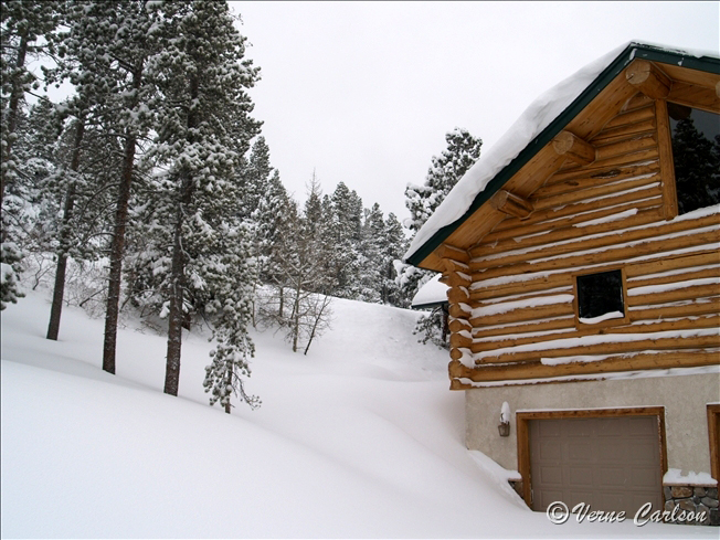
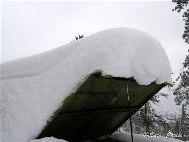
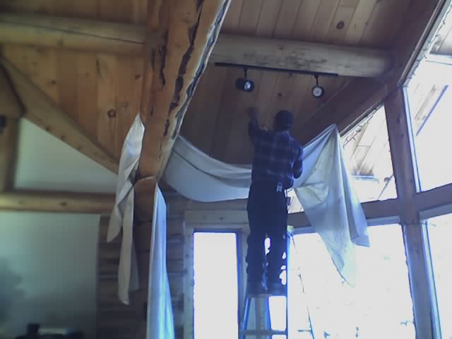
Latest image from Verne's mobile picture phone.
http://www.cnn.com/2006/WEATHER/07/12/ny.tornado/index.html
NEW YORK (CNN) -- A tornado struck about 20 miles north of New York City during rush hour Wednesday, causing heavy damage to a Westchester County store, the National Weather Service and a store spokesman said.
No one was seriously injured when the twister skipped along a highway and hit a California Closets store in Hawthorne, New York. A supervisor for the company said employees and shoppers got out of the building before the roof collapsed. Two people suffered minor injuries, the supervisor said.
Nearby, guests huddled in the lobby of a Comfort Inn as the tornado passed, causing minor damage to the building, a hotel employee said.
Mount Pleasant police said wind damage forced the closing of Saw Mill Parkway just as the afternoon rush hour was beginning.
Police also responded to reports of flash flooding, and trees and power lines knocked down by the high winds, according to a Westchester County spokeswoman.
The county opened its emergency operations center in response, she said.
Though rare, tornadoes have struck in or near the five boroughs of New York City. Most recently, a tornado touched down on the New York City borough of Staten Island on October 27, 2003, according to the New York City Office of Emergency Management. It uprooted trees and caused minor property damage. There were no injuries.