


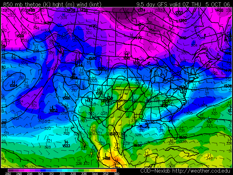
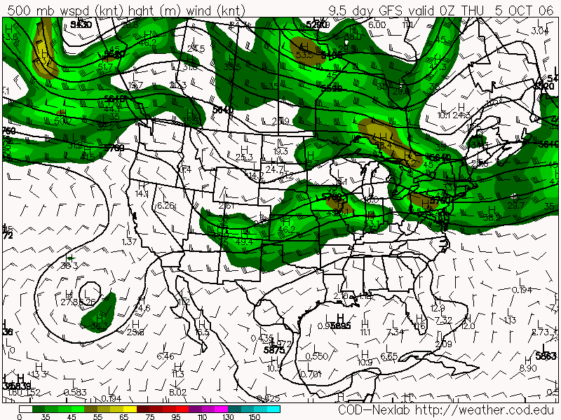
 Decent theta E air being pulled up around a surface low in w KS and a little upper air support. It's a long ways off but it's shown up on two days GFS runs now so I'll be watching. Could be our next chase potential day.
 Marginal setup for Weds Oct 4th - need to keep an eye on this one for central KS.


No comments:
Post a Comment