


Plains forecast update 3, for March 23
6 days ago


 Here's our crew for the case ((c) Jketcham) Tony, Myself and Michael after our successful tornado intercept!
 Tornado at it's most pronounced. We are viewing it through the powerpoles over McLean, TX as the tornado moves north of town.
 Rotation moves over I-40 as a funnel aloft.


 Saturday looks to be the best day of the coming system. Nice compact surface low in c KS and almost vertically stacked with the upper low. Would like to see the upper low slow a bit and stay back from the surface low.
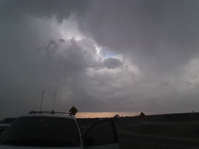
 Friday Feb 23 looks to be an outside chance of being the first severe weather day in the plains for 2007. The surface low is in a good position and is nice and deep. The upper level jet is a little far away at 0z at the current time. For Friday to be a good chase and not a nighttime event the system will have to speed up a bit. Current target for Friday: Pratt, KS

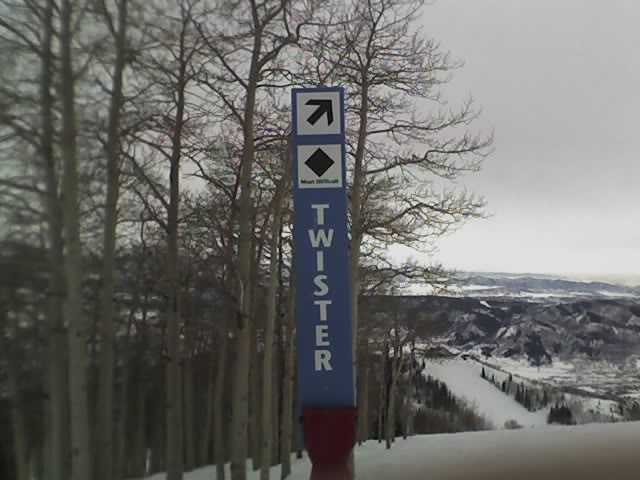
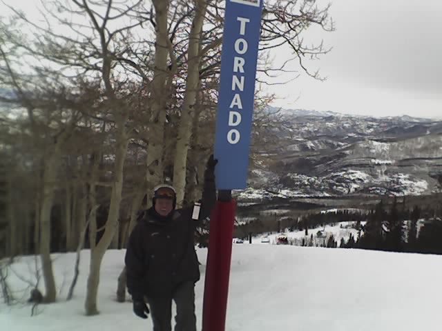
Latest image from Verne's mobile picture phone. This is the Storm Peak area at the Steamboat Ski Resort. Included are the Twister, Tornado, Cyclone, Vortex, and Hurricane. I have to say that the Tornado run was the best!

