Got a brief dry thunderstorm that put out some photogenic lightning this evening. These shots are from my deck overlooking Denver from 9080' in the mountains.

Latest image from Verne's mobile picture phone. So here's how bad 2OO6 has been, I just ran into Josh Worman at the shopping mall in the month of June?!
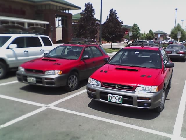
Latest image from Verne's mobile picture phone. Driving to CostCo today at lunch I found my twin. Same year, same color, everything.


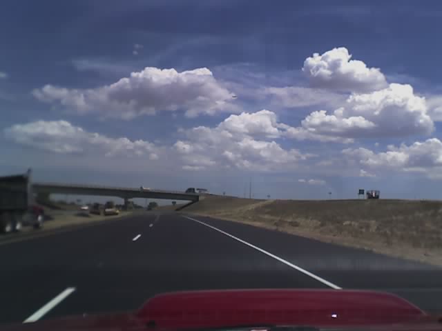
Latest image from Verne's mobile picture phone. Nice CU field forming over e CO now
Michael, Eric and I chased all the way up to the Pawnee Buttes and got some great shots of the storm coming out of Kimball, NE over the grasslands. Will have some pics up soon.
I'm back at work now and it looks like a quiet, hot few days with little chance of storms. Unless you live in someplace silly like the pac NW!

 Michael and I watch as the meso moves slowly our way.
 Possible funnel but no touchdown confirmed!
 Meso slowly moves towards us exibiting the best structure I've seen all year!

Latest image from Verne's mobile picture phone. Michael and I were able to intercept this nice tornado warned meso in cherry county, NE tonight after bailing on the eastern NE/SD original target. This cell had the best structure I've seen all year and tried many times to spin up scud from underneath but never did tornado as far as we could see.
Michael and I are currently in Norfolk, NE at a motel getting wifi in a nice shady spot. I wanted to head further north but I think we will hold here for awhile where we can check data and get food as options north into SD probably get more scarce.
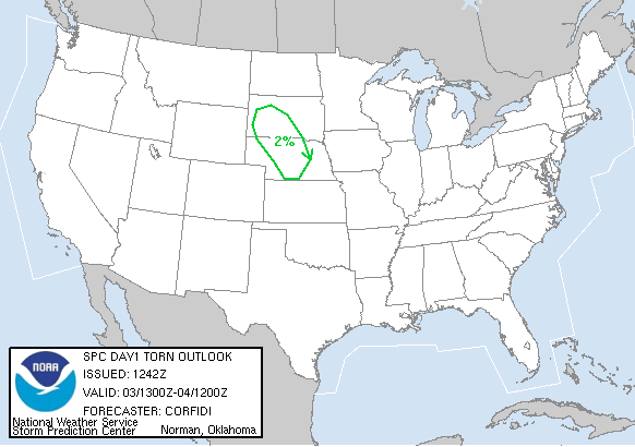
Surface obs are showing mostly upper 50 Tds but there is hope for some of the promised higher dews to get here. I see a few sites in w IA with 62-68 Tds that should get pulled into the low forming to our northwest.
Now it's just wait and see.

Latest image from Verne's mobile picture phone We are in York, NE at the Best Western ready for tomorrow's action.

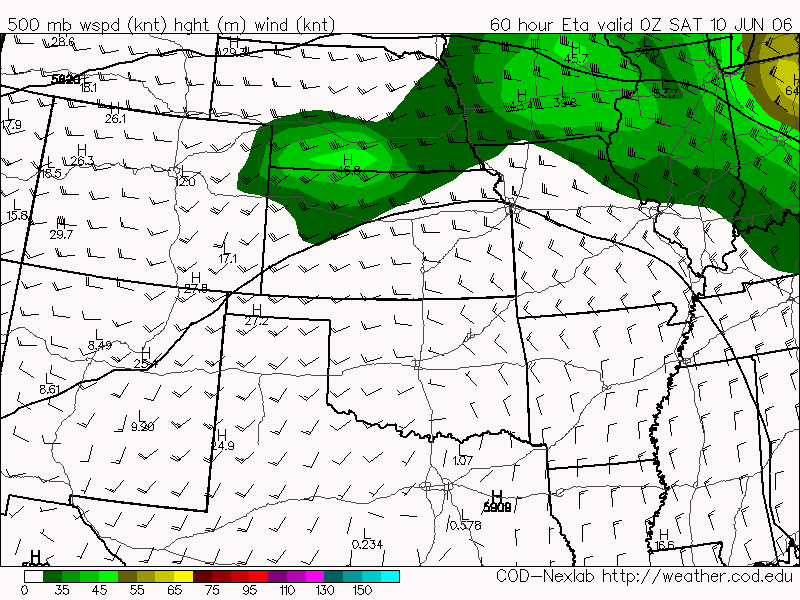
 Chris Rozoff gave us all a heads up to a potential big day in Iowa on Friday. Looks like at 0z a surface low sets up over central IA giving good shear ne of the low. Capes are nice and high at around 3500 j/kg and the 700mb Temps show that the edge of the cap is to the sw of central IA. I am seriously considering leaving Denver mid morning tomorrow, staying overnight in Omaha, NE and then making the rest of the drive to Des Moines, IA. We would then chase from there friday night and stay over close to whatever target setups for saturday (which Chris is calling a high cape event). We would chase saturday and come home sunday morning from wherever we end up saturday night. That would end my chasecation for 2006 as I go back to work monday morning.
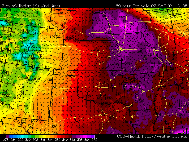
 Edit: Gotta agree with Chris that high LCLs and a persistant cirrus shield will make this one to pass on. No chasing today.
 Meso as it rises over Cedar Point hill and moves towards us near hw71 in e CO. Many times it looked like it was about to tornado but never did.
 Lowering seen north of Flagler, CO as seen from I-70
 Lowering over Agate, CO as seen from Cedar Point hill, CO