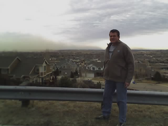
Latest image from Verne's cell phone.
a strong cold front will move south through northeast colorado late
this morning and early this afternoon. this frontal system will
produce gusty northeast winds of 25 to 40 mph and slowly falling
temperatures across the plains during the afternoon. as relatively
moist upslope flow develops this evening expect light to moderate
snowfall to develop and spread south along the front range early
this evening...before spreading east across the plains overnight.
snowfall is likely in and along the front range this evening with
the heaviest accumulations expected south of interstate 70. snow
accumulations are expected to range from 1 to 3 inches across the
denver metro area...with the higher amounts near the foothills.
less than an inch of snow accumulation is expected farther out
across the northeast plains of colorado. whereas the front range
foothills and palmer divide south of denver could see accumulations
of 2 to 5 inches by morning...with similar amounts in higher
mountain areas along and east of the continental divide. west of the
continental divide snowfall will become scattered in coverage with
only light accumulations expected overnight.


No comments:
Post a Comment