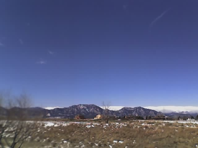
Latest image from Verne's mobile picture phone. After lows down to -13 temps warm back into the 40's. 60's are expected for early next week.
While I'd like to see the warmer temps we really need a good couple of months of soaking snows and rains. After the talk that Dr. Greg Forbes gave about the projections for the 2006 season I did some digging on the CPC site. Sure enough the projection for the next 3 mos shows the southern plains continuing to be dry and hot. If you believe that evapotranspiration has a role in severe storm frequency then that does not bode well for the storm season in TX and OK. Last year OK had a record low number of tornadoes. I am anticipating that we will see this trend again this year and that the big action will be in NE, SD, IA, MN and ND. I also am leaning towards another peak in activity in the first week or two of June.
Looks like Tony L will be coming up this saturday with the White Lightning van. Looking forward to doing some drilling and modifications. I also still need to find a place to mount my Davis Weather Monitor.


No comments:
Post a Comment