
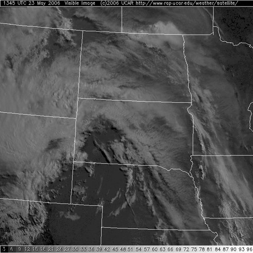
With backed surface flow and the upper low lifting north the new target for today is central SD. We are out the door in 40 minutes and heading north through the sand hills of NE. SPC has upgraded our tornado area to 10%
Live Geo-referenced Storm Chaser Video. First in the Field Aerial Live Streaming and Aerial Storm Intercepts. High Resolution Level II Radar Data. Severe Weather Forecasts and Reports by Storm Chasers/Severe Weather Videographers Verne, Michael and Eric Carlson. For live stream and video licensing contact us at: vernecarlson@hotmail.com


No comments:
Post a Comment