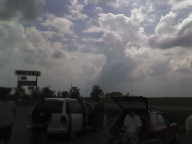
Latest image from Verne's mobile picture phone.
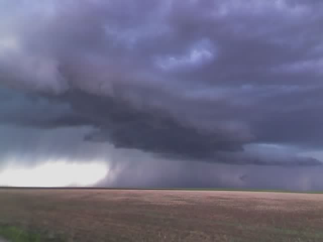
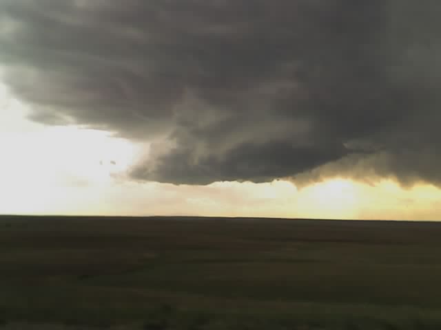
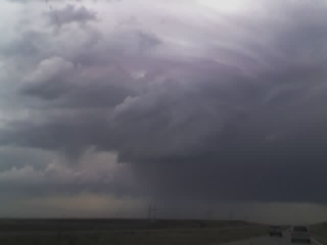
Yesterday was a fun chase day as Michael and I positioned ourselves up on the top of Cedar Point where there is a little known lookout by all the radio towers where you can see for miles in all directions. We watched as the supercell coming out of Denver started gaining structure over Agate and moving our way. It had it's best shot at dropping a tornado in this shot as it moved up the hill in front of us. It was a fun chase with the DOW truck, the TIV remnant (now a truck with a camera platform on the back) and many other chasers out for this event. Today looks like a se CO day with a potential close in chase for LP supercells out past the Colo Spgs area. Will have some pics up this morning from the last few days.
Mileage for the last 4 days: 3020 miles